location
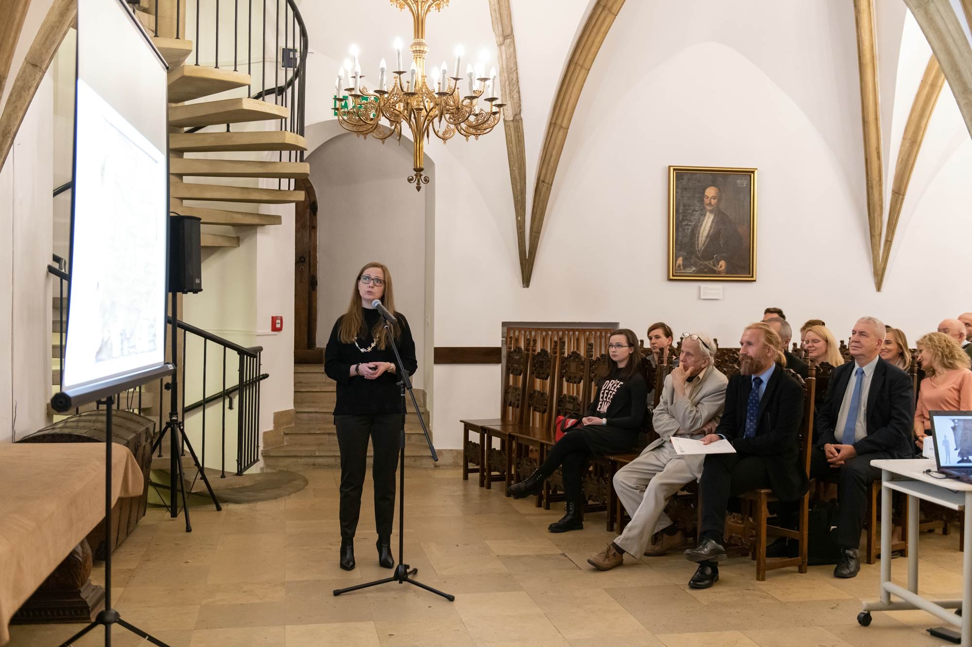
SALTWORKS CASTLE
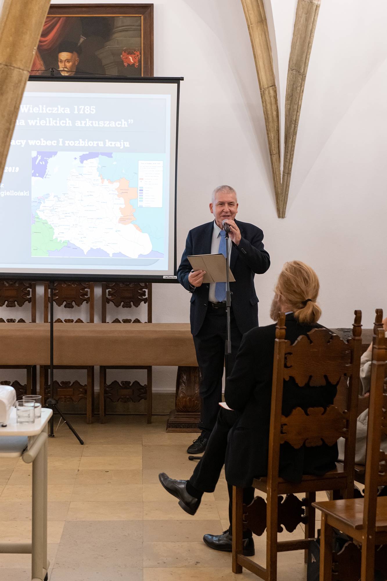
DATE
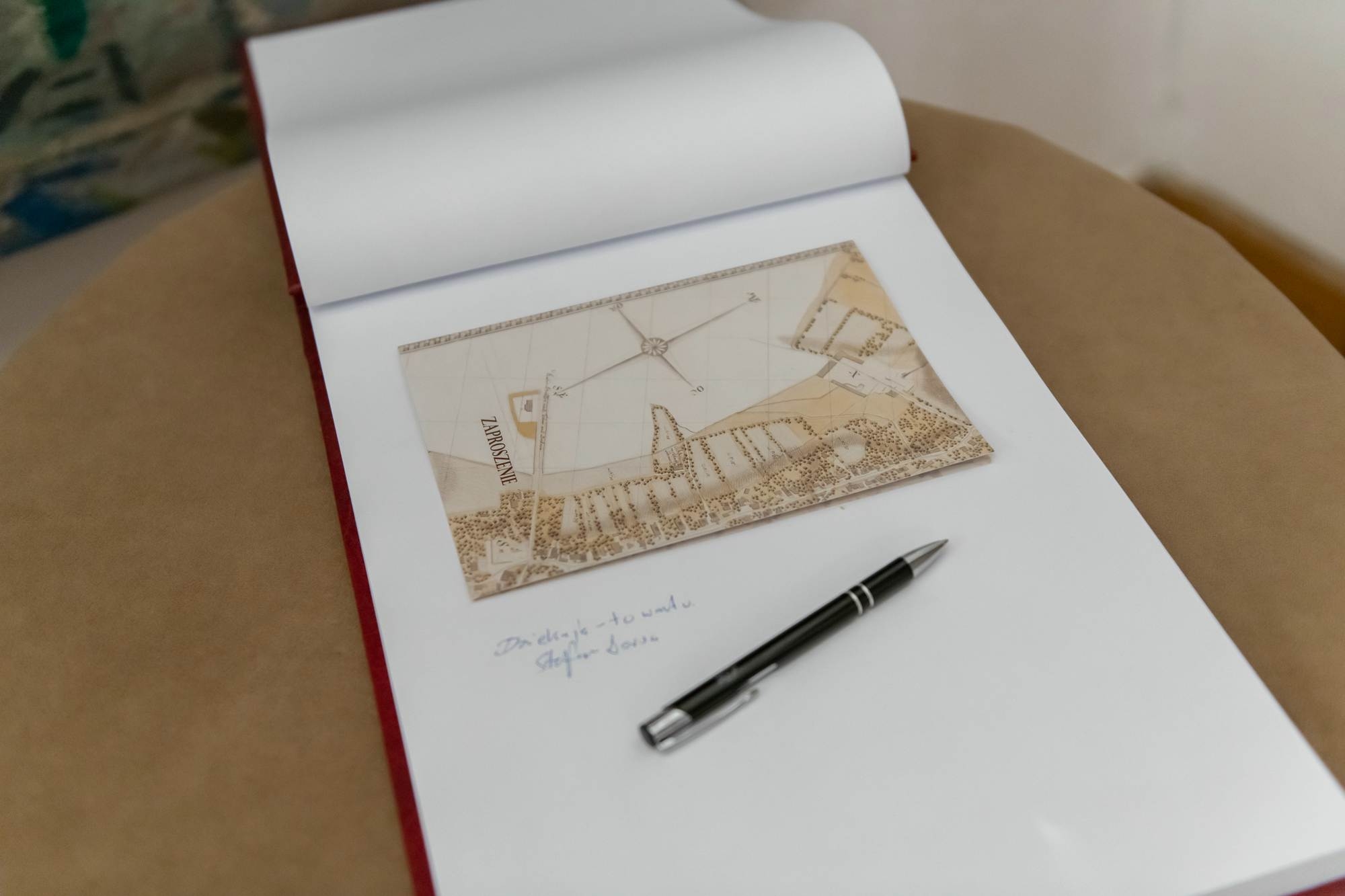
2 October - 17 November 2019
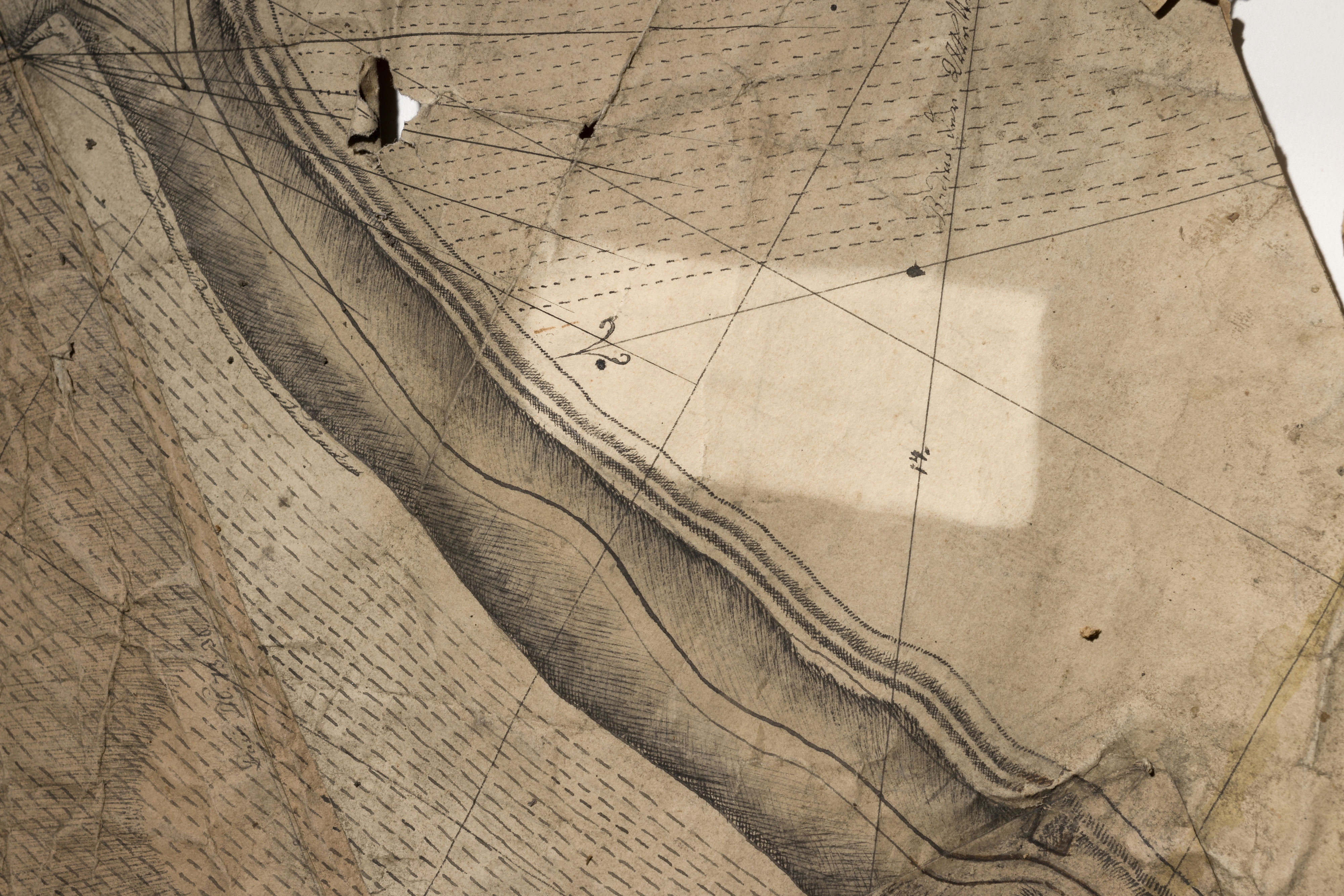
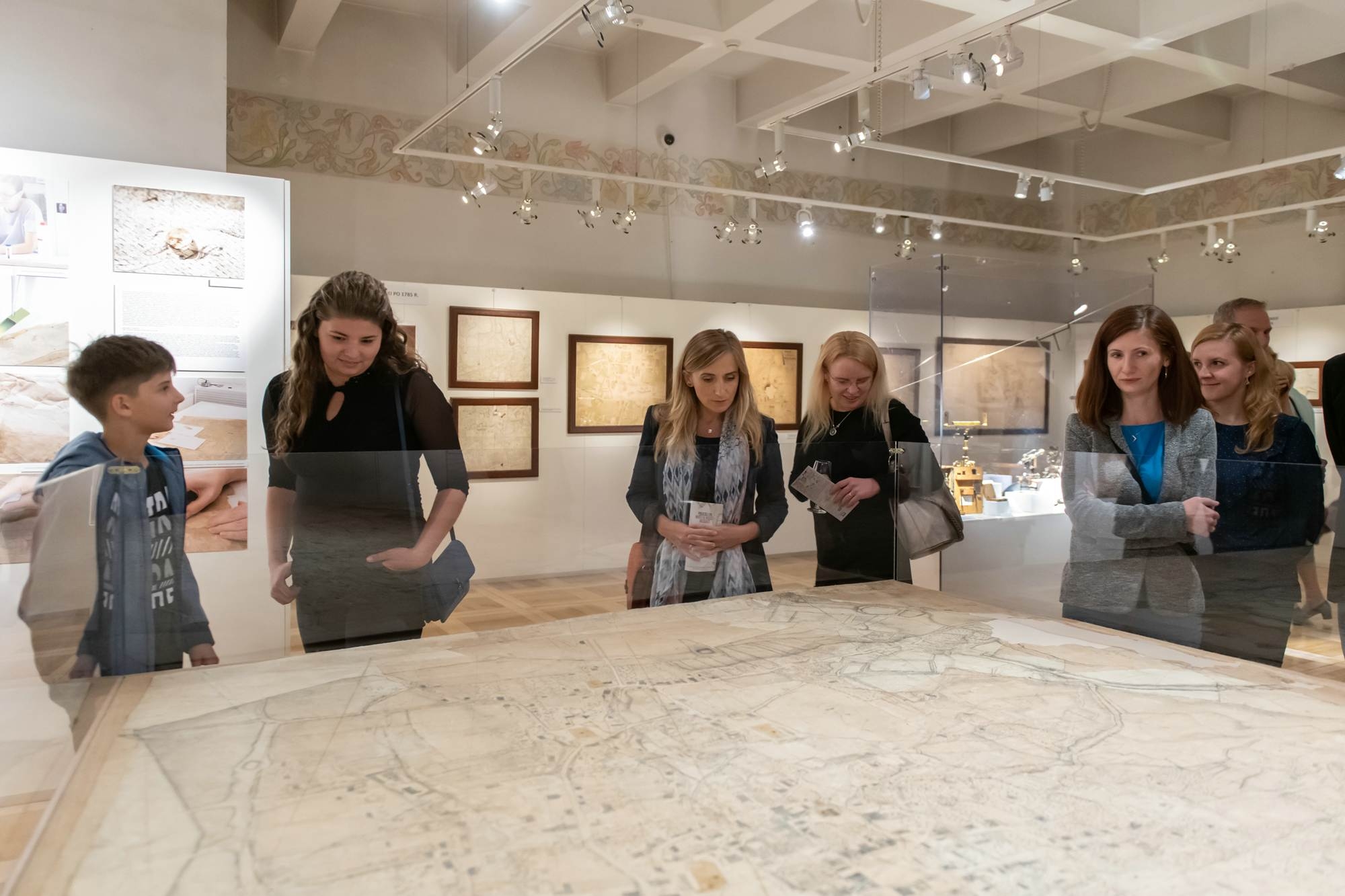
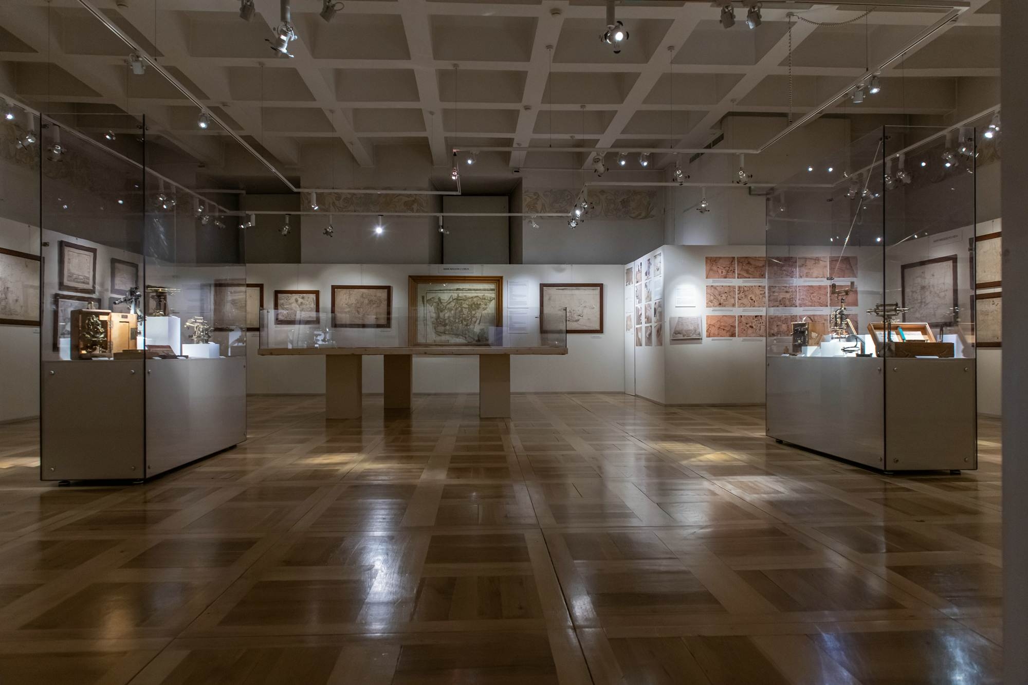
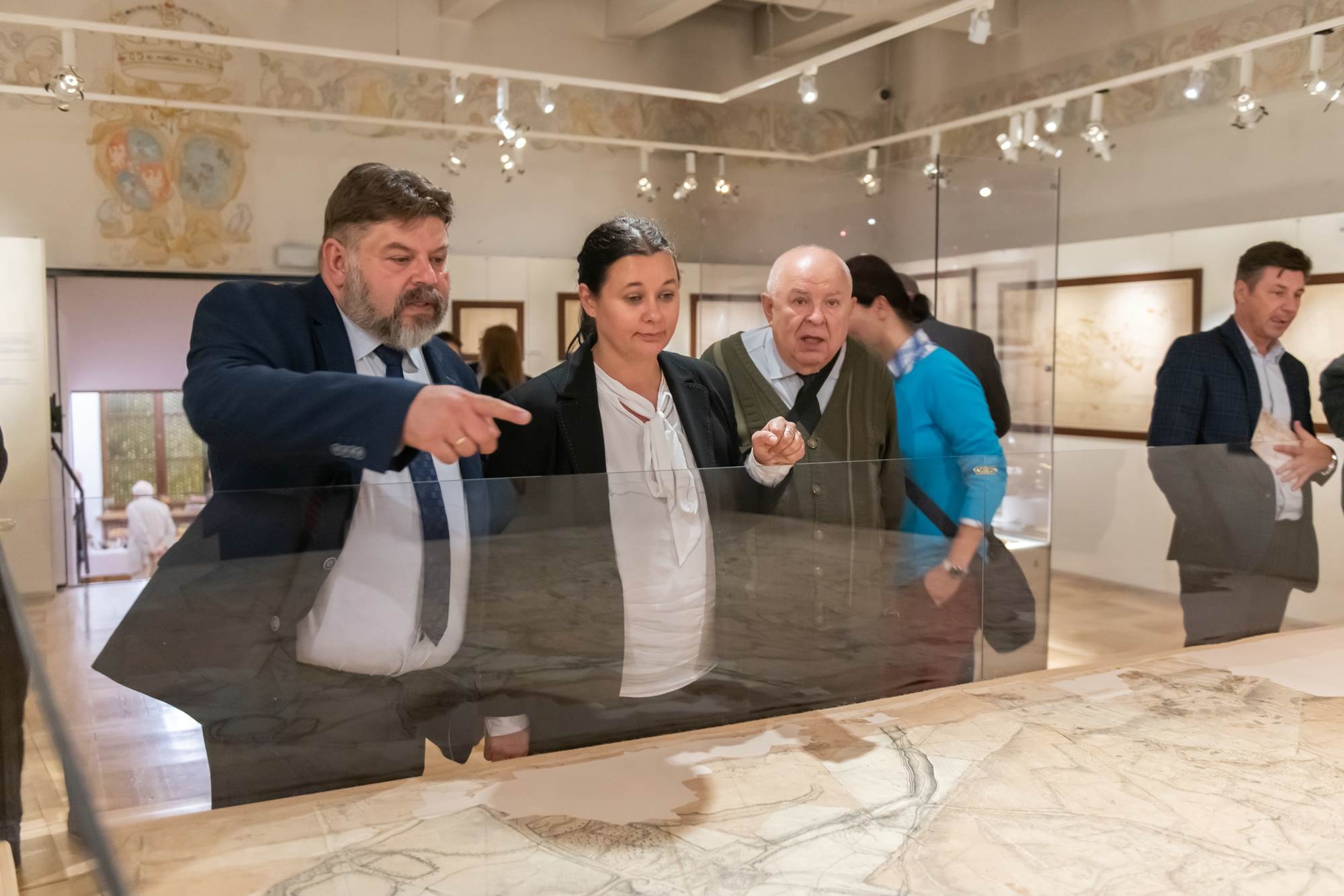
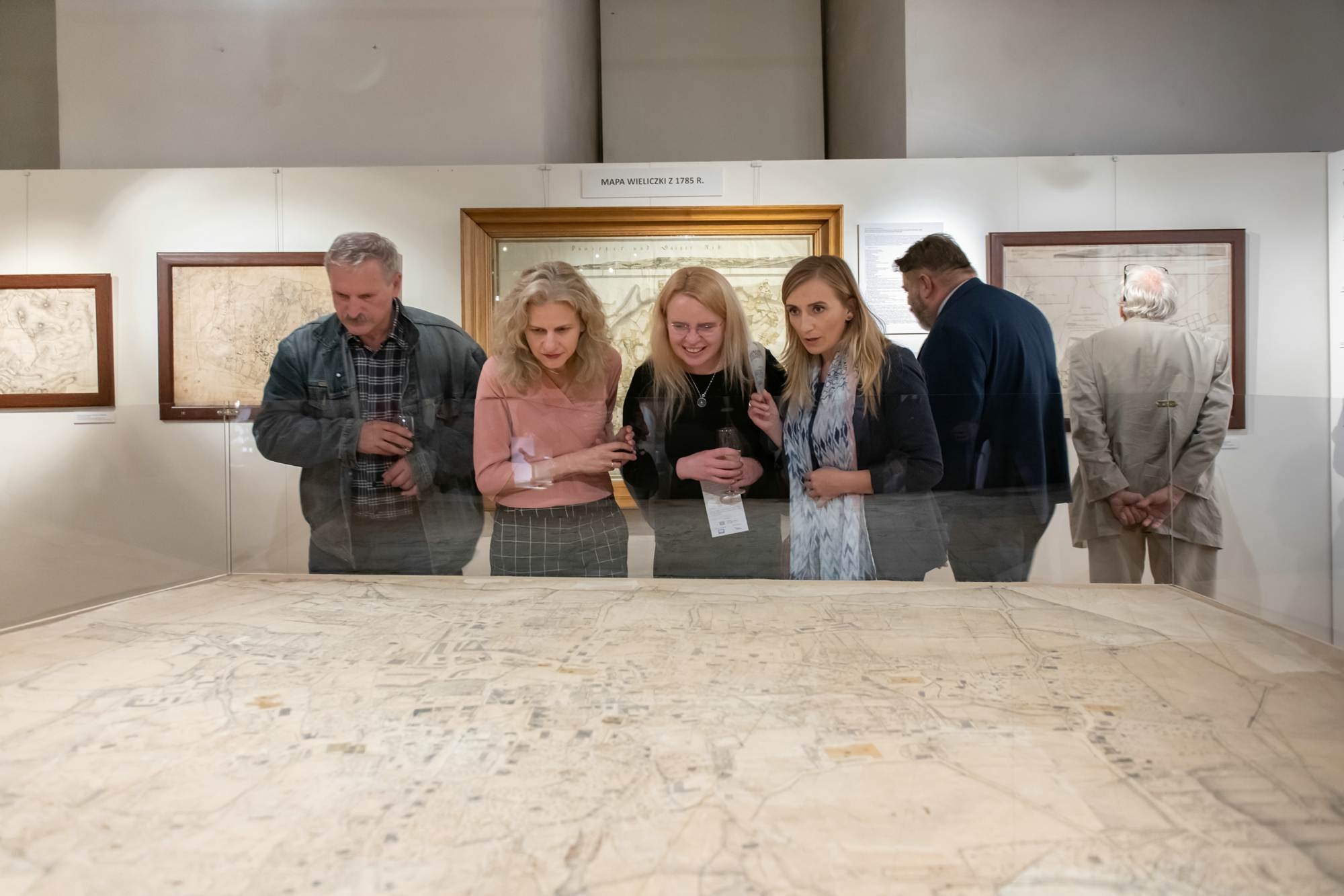
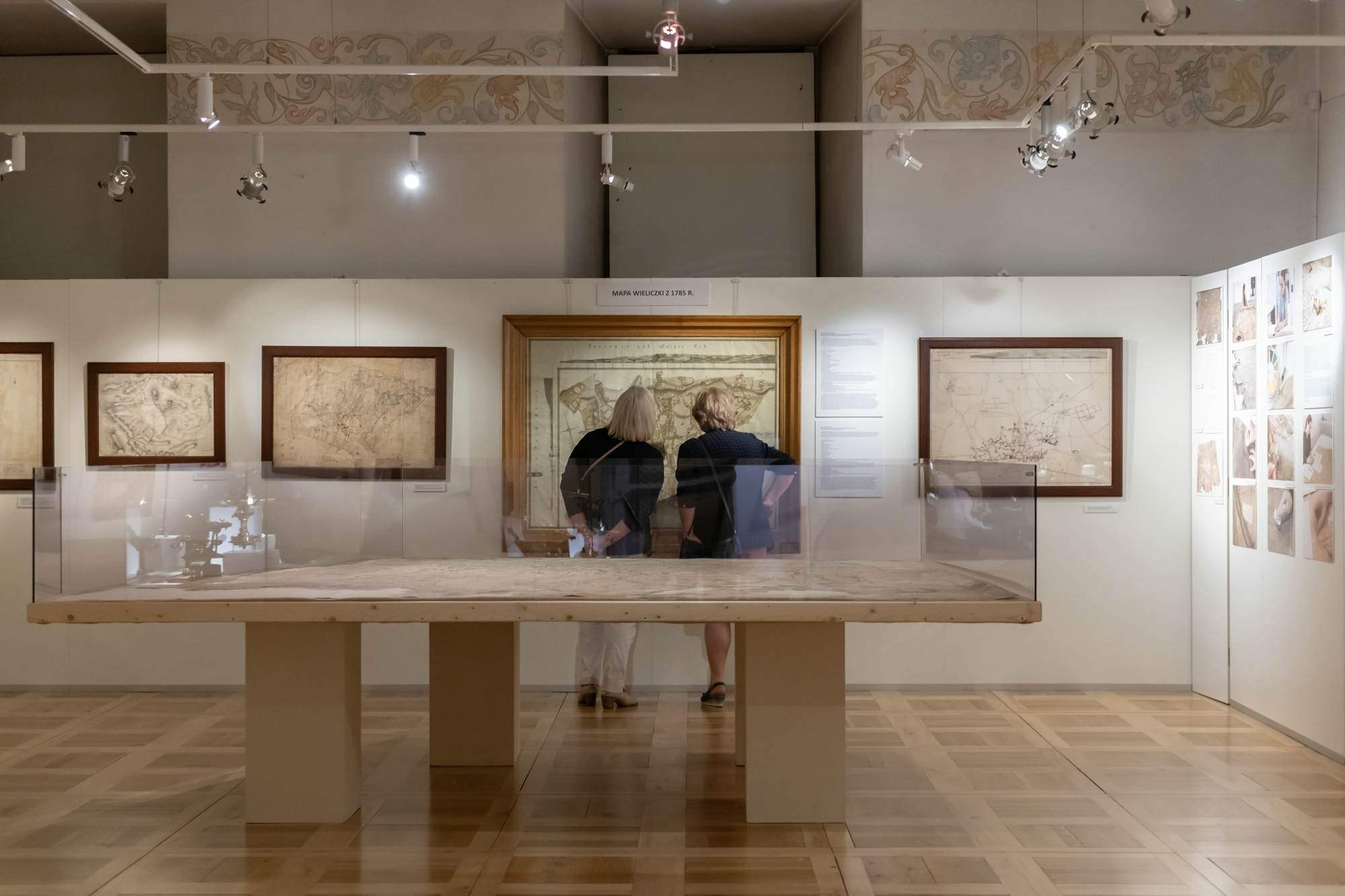
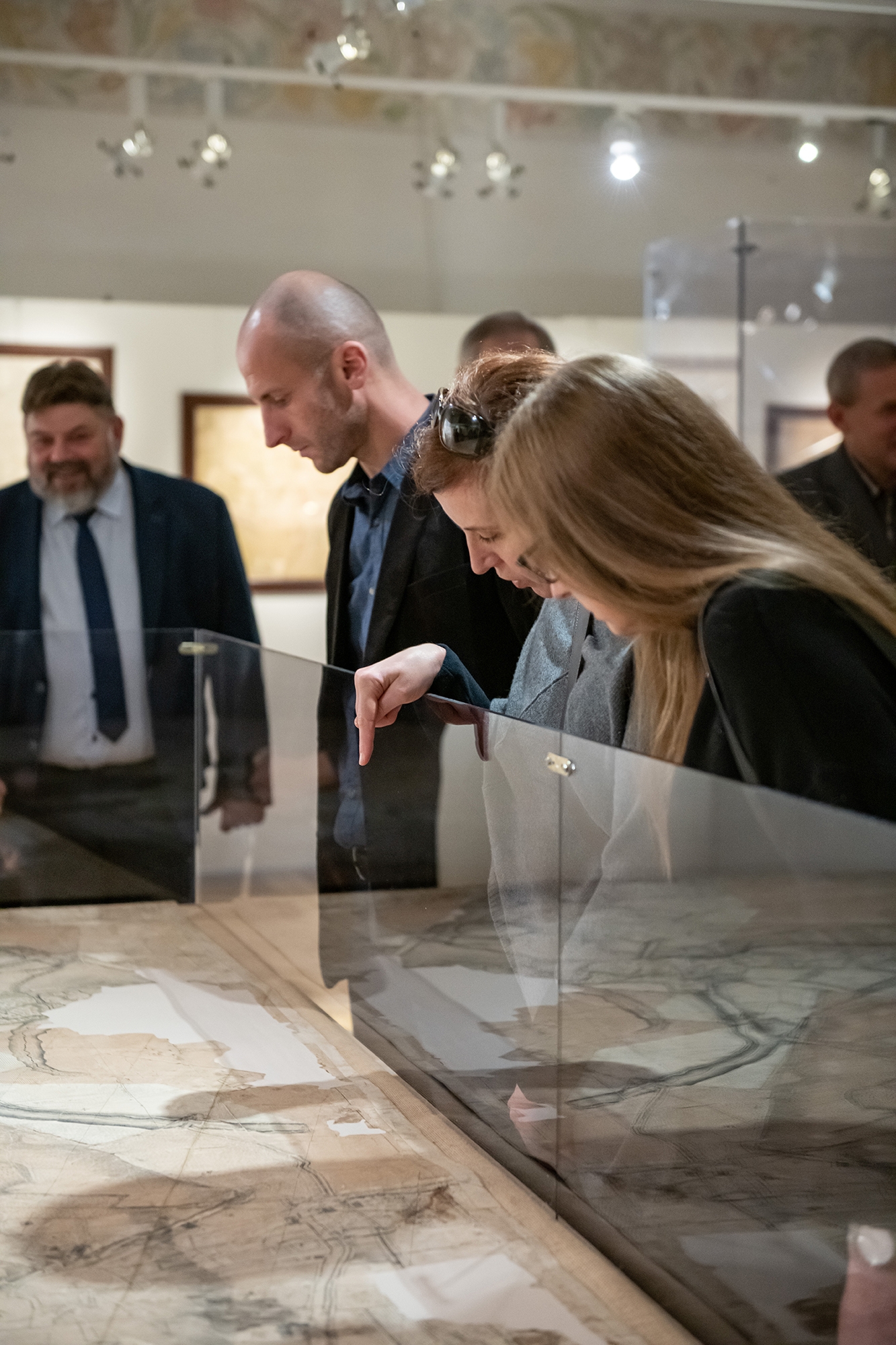
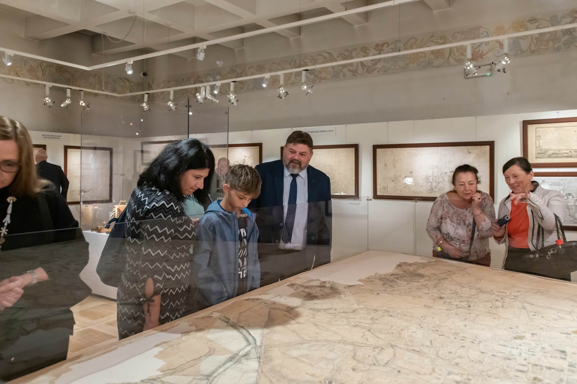
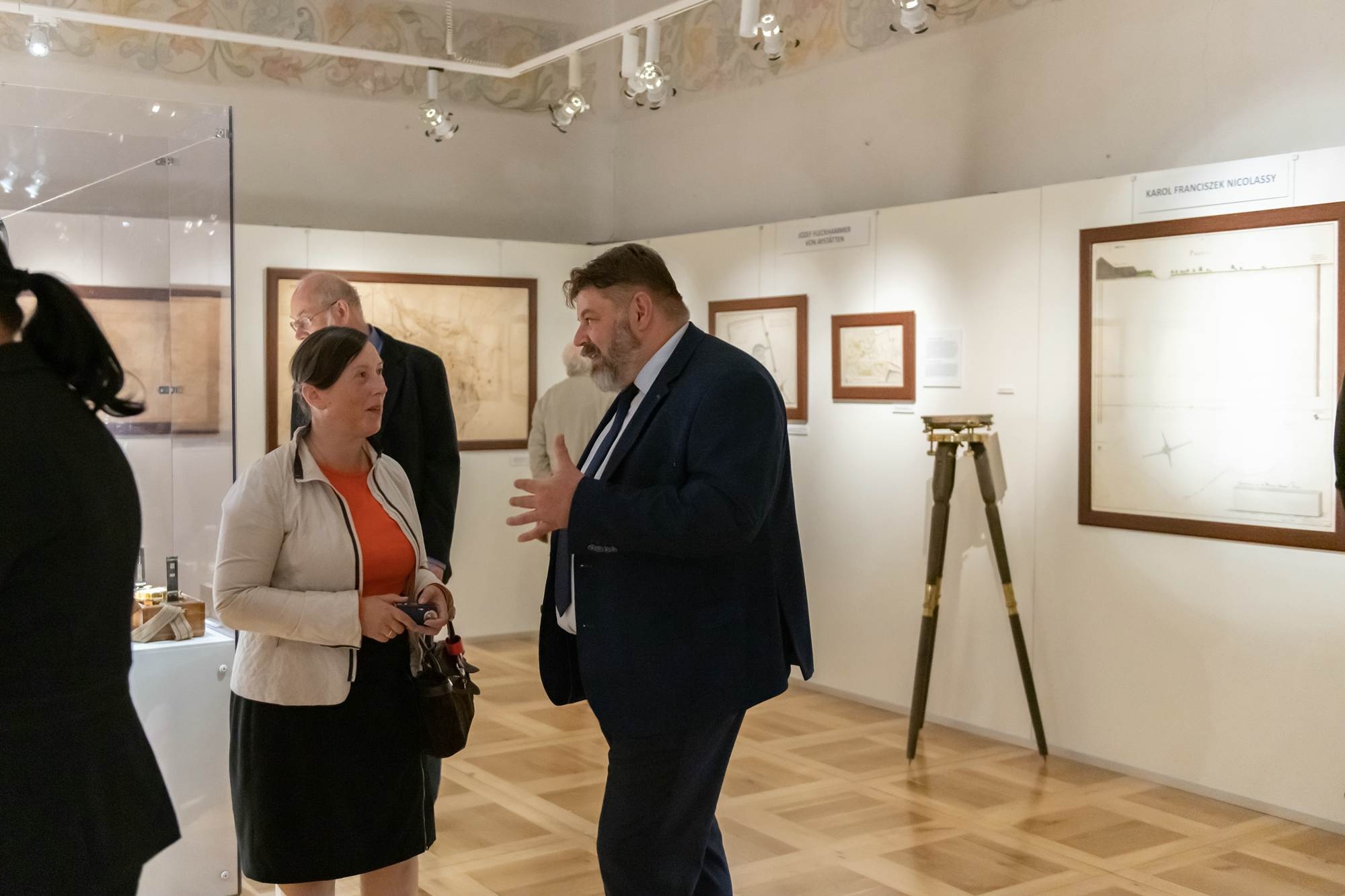
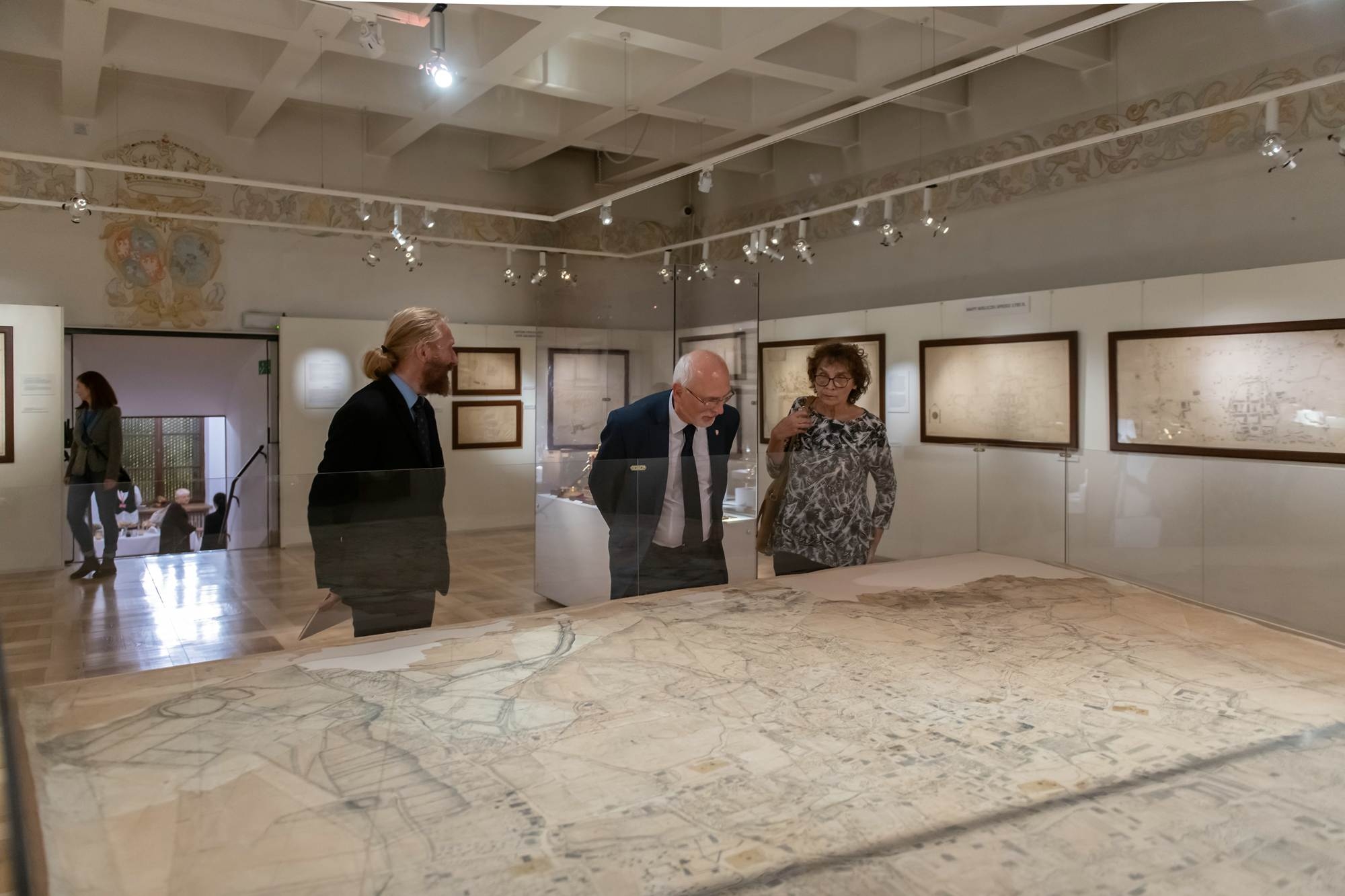
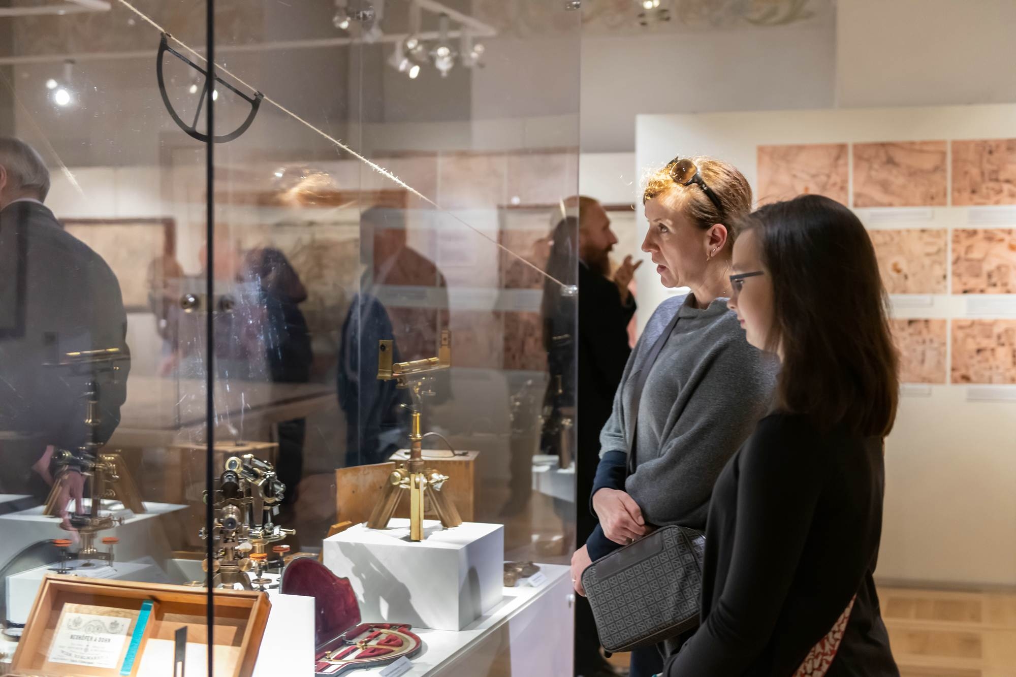
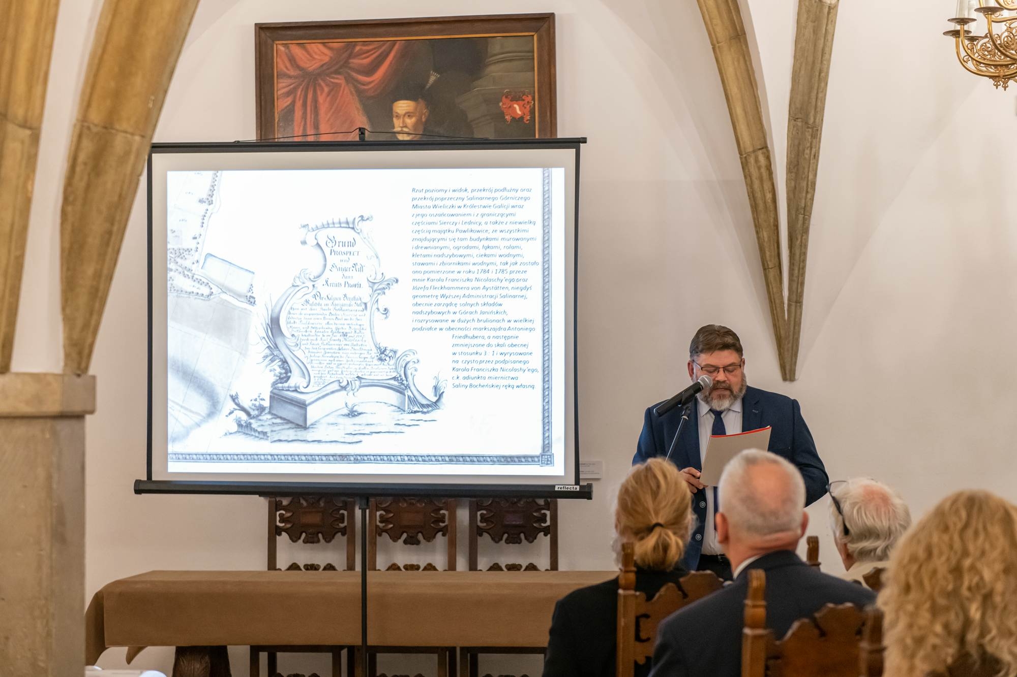
At the exhibition you can see the unique map of Wieliczka from 1785, with impressive dimensions of 2.4 x 3.3 m, which is the most detailed cartographic documentation of the mining city of Wieliczka. You can see also many other valuable maps and the recently purchased collection of old measuring devices.
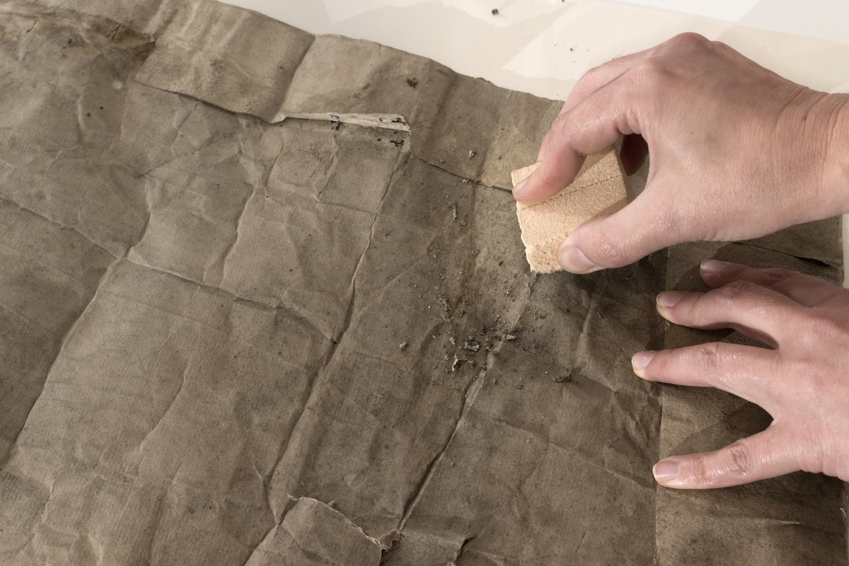
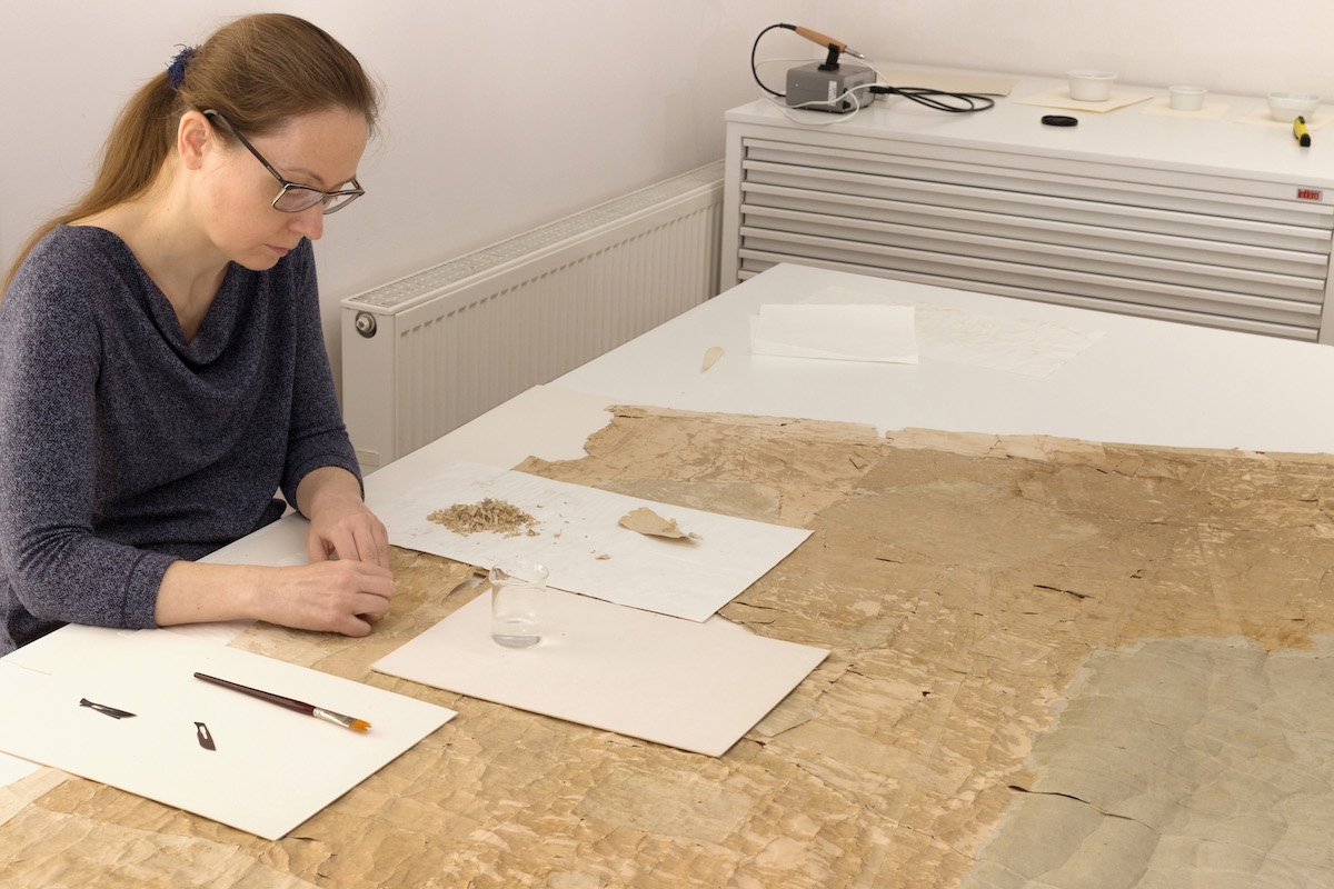
1785 was the time when drawing the city map was completed "on large sheets", and then its reduced version was drawn, with additional sections and decorative inscriptions. The map served salinary officials for many years. Unfortunately, due to its large dimensions, frequent use and unprofessional repairs, its condition was very bad. For many years, performing professional map maintenance has exceeded the capabilities of companies operating on the Polish market. It was not until last year that maintenance was undertaken.
During the work, it turned out that the map consists of as many as 84 sheets and sheets of various shapes and thicknesses. The map surface has been thoroughly cleaned, old repairs removed, supplemented and taped with a new primer. Thanks to this, it was possible to read the content, which allowed determining the authorship and time of its creation.
Due to the scale, this map is the most detailed cartographic documentation of Wieliczka, which is its significant value.